
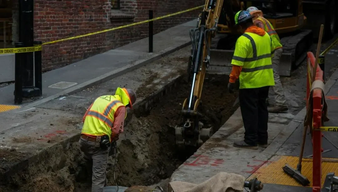
Ask most site teams what “locating” underground services means and you’ll get a confident answer. Ask a follow-up question — what happens when the pipe’s plastic, or the ground’s saturated clay, or the last locate was six months ago — and the confidence usually cracks a little. That gap between what people assume a locate covers and what it actually covers is where strikes happen.
For the engineer who signed off on the investigation, that gap is personal. It’s rarely the strike itself that keeps you up at night — it’s standing in front of a client, a principal contractor or a regulator afterward, explaining why a process that looked complete on paper missed something in the ground. AS 5488.1:2022 exists precisely to make that conversation answerable: it classifies subsurface utility information into Quality Levels D through A, based on the method used to obtain it, not just whether a scan happened. Here are five assumptions worth retiring before you’re the one relying on that classification to defend a decision.
Myth 1: “If BYDA didn’t flag it, it’s not there”
A Before You Dig Australia (BYDA) enquiry only returns what asset owners have on record. It’s a real and necessary first step, but it’s built from existing plans, not a physical check of what’s in the ground — under AS 5488.1:2022 that’s Quality Level D: the lowest confidence tier, where no spatial tolerance is required because the information is desktop records and anecdotal knowledge only. Services get added, abandoned or relocated without the paperwork catching up every time.
The fear this myth feeds is a specific one: signing off an investigation as “complete” at Quality Level D, then having to explain — after a strike — that the search was never designed to confirm what’s physically there. Field verification with electromagnetic locating or GPR lifts that to Quality Level B, with a defined spatial tolerance (around ±300mm horizontal, ±500mm vertical) instead of none at all. A clean BYDA response tells you who to expect underground. It doesn’t tell you that’s the complete list, and QL-D on its own won’t be the classification that protects you if it turns out not to be.
Myth 2: “GPR can see through anything”
Ground penetrating radar is powerful, but it isn’t x-ray vision. It works by reading contrast — how differently a target and the material around it reflect a radar signal — and that contrast can disappear. Wet clay and saturated or saline ground absorb and weaken the signal badly enough that penetration can drop to a few centimetres on the worst sites. A PVC pipe sitting in dry sand can also be a weak, easy-to-miss target, because plastic and sand don’t contrast much to begin with.
This is the myth that produces false confidence, which is worse than no confidence at all. Getting a scan to genuinely support a Quality Level B classification depends on the ground giving the method a fair chance, not just on the method being used. An investigation that says “GPR clear” reads the same in a report whether the site conditions actually supported that classification or quietly undermined it. If you’re the one relying on that report to plan excavation, the question worth asking isn’t whether GPR was used — it’s whether the conditions on the day genuinely earned the Quality Level written on the deliverable.
Myth 3: “Plastic pipes are basically invisible to any locator”
Not quite — but non-metallic pipes do need a different approach entirely. Electromagnetic locating traces a signal running along a conductor, which a plastic pipe doesn’t have. Without a tracer wire, the workaround is a sonde: a small transmitter pushed into the pipe itself and traced from the surface. It works, but reading it takes real skill — the signal produces multiple peaks as you approach it, and the smaller false peaks either side of the true position can mislead an inexperienced operator into marking the wrong spot entirely.
The risk here isn’t a missed line — it’s a wrongly marked one, quoted at the same Quality Level B confidence as a correctly traced one. A mark on the ground reads as certainty to everyone downstream of you: the excavator operator, the site supervisor, the next shift. If that certainty was built on a misread signal, the person who scoped the investigation is the one left explaining why “we marked it” and “we found it” turned out to be different things.
Myth 4: “One certified locate covers the whole project”
A locate is accurate for the conditions on the day it was done, and its Quality Level classification is a snapshot, not a standing guarantee. On a project running for months, that’s not a small caveat — services get added, temporary works go in and out, and ground gets disturbed and reinstated by other trades in between your mobilisations.
This is where a genuinely well-run investigation from week one becomes indefensible by week twenty, through no fault of the original work. If your program spans multiple mobilisations and the investigation scope was never revisited, that’s the gap an auditor — or an incident investigator — will find first. Treating an early locate as still current later on is how a service that genuinely wasn’t there at the start of the job ends up struck, on your watch, for a reason that has nothing to do with the quality of the original locate.
Myth 5: “Any locator wand and any operator will do”
The equipment matters less than the person reading it. Misjudging which signal peak is the real one, misreading a radargram, or not knowing when soil conditions mean the result needs a second method to confirm it — these are operator errors, not equipment failures, and they’re exactly what CERTLOC certification exists to catch. Individual Certified Locators are assessed on both theory and practical competency, with a pass mark of at least 96% on the theory component, and have to requalify every two years with ongoing continuing education. A Certified Locating Organisation has to go further again: calibrated equipment, appropriate safety gear, and business insurance suitable for the work, on top of employing Certified Locators.
For an engineer choosing who carries out the investigation, this is the decision that’s hardest to defend after the fact if it goes wrong: the equipment was on site, a scan was done, and it still missed something because the person reading it wasn’t trained to catch the edge case. This is also why HCS pairs electromagnetic locating and GPR on every job rather than defaulting to one, through CERTLOC-accredited locators: each method covers ground the other can miss, and certification is what backs the Quality Level written on your deliverable rather than leaving it as a claim on a letterhead.
The Real Question
Every one of these myths comes down to the same thing: mistaking “we did a locate” for “we know what’s under this site.” AS 5488.1:2022’s Quality Levels and CERTLOC certification both exist to close exactly that gap — one classifies how much confidence a piece of information actually deserves, the other verifies who’s qualified to produce it. Used properly, together they’re what makes an investigation defensible after the fact, not just complete on paper. Before your next investigation, it’s worth asking which of these assumptions your current process is quietly relying on.
Need a locate that holds up to that question, not just the easy cases? Contact the HCS team before you break ground.
